UAV + BIM Photogrammetry Research Boosts Automated 3D Model Segmentation
December 22, 2025
1 Min Read
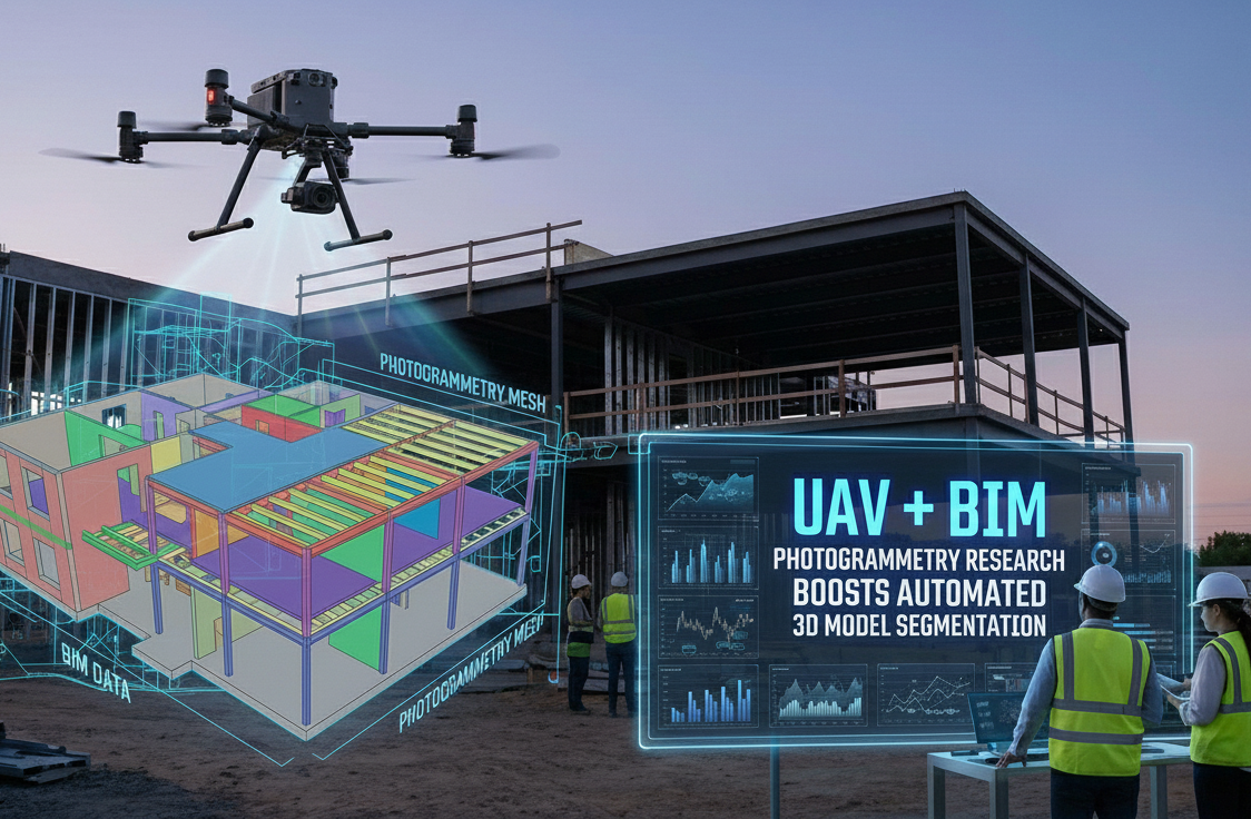
Recent research proposes a machine-learning framework that integrates UAV photogrammetry with BIM to automate 3D structure model segmentation—overcoming manual labeling challenges in large infrastructure scanning.
By combining high-resolution UAV point clouds with synthetic BIM-based data, the approach significantly reduces training time while maintaining segmentation accuracy for key structural components like rails and ties. This enhances precision and efficiency in infrastructure health monitoring and model creation workflows.
Conclusion:
This work pushes UAV-driven capture and BIM integration forward, promising faster, more accurate model segmentation that accelerates as-built documentation and monitoring—particularly valuable in rail, bridge, and large-scale civil projects.