Esri & Autodesk Deepen GIS + BIM Integration to Enrich Project Context
October 13, 2025
2 Min Read
At Autodesk University 2025, Esri showcased how tighter integration between GIS and BIM is unlocking new possibilities across planning, design, and operations.
Location-Aware Design Workflows
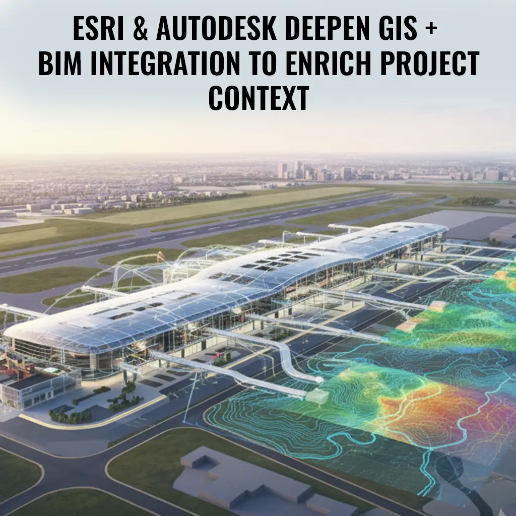
Project teams can now inject GIS layers — such as soils, hydrology, demographics — early into BIM projects. This gives designers spatial context from the start, enabling smarter decisions about orientation, massing, and environmental constraints.
Real-Time Sync & Collaboration
By connecting ArcGIS and Autodesk Construction Cloud / Forma, teams gain a unified view of geospatial and building data, enabling better collaboration across disciplines. Projects like airport modernization already use this to link facility maps, Revit models, and operational systems.
Integrated Use Cases & Tools
- Indoor GIS: Linking BIM elements like rooms and corridors to indoor GIS systems for facility management
- Project Dashboards: Using map-based visualizations to navigate project data, documents, and 3D models together
- BIM + GIS for Infrastructure: Aligning civil, site and architectural workflows through shared spatial intelligence
Why It Matters
With this integration, BIM no longer lives in isolation — it becomes geospatially aware. That helps reduce silos, support lifecycle use of data, and push toward more intelligent, context-rich project delivery.