Bentley iTwin APIs Integrated with Cesium for Digital Twins
September 1, 2025
2 Min Read
Background
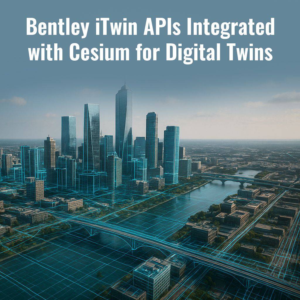
Digital twins have become a critical part of modern AEC workflows, bridging the gap between design, construction, and operational phases. However, integrating geospatial data with rich BIM models has often been complex and fragmented. Bentley’s iTwin platform, now integrated with Cesium, a leader in 3D geospatial visualization, changes the game by offering seamless interoperability for digital twin applications.
Highlights
- The new iTwin APIs enable developers to combine engineering design data with geospatial visualization using CesiumJS applications.
- This integration supports advanced workflows where BIM models, GIS data, and real-world context come together in one environment.
- The platform supports large-scale projects such as smart cities, complex transportation systems, and urban planning initiatives by enabling high-fidelity 3D visualizations.
- Tutorials and workflow examples make it easier for teams to quickly adopt and implement these tools in real projects.
Relevance
For BIM managers, architects, engineers, and infrastructure planners, this integration unlocks new levels of insight and collaboration. Teams can now visualize projects not just as isolated models but as contextualized assets within their geospatial environment, improving decision-making, stakeholder communication, and lifecycle management for everything from bridges and railways to high-rise developments.