GIS and BIM Integration Becoming Essential for Infrastructure Planning
April 18, 2026
2 Min Read
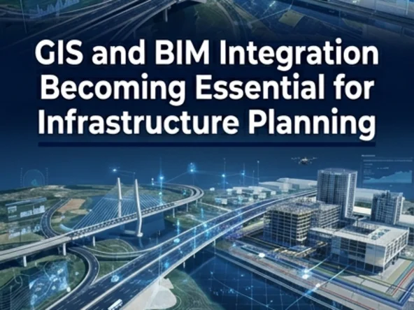
April trends show increasing adoption of GIS + BIM integration for infrastructure and urban planning projects.
What This Enables
- Linking real-world geography with BIM models
- Better site analysis and planning
- Improved infrastructure coordination
Why It Matters
Infrastructure projects need both spatial context (GIS) and detailed design data (BIM).
Key takeaway: The future of infrastructure lies in GIS-BIM convergence.