Author: Devika R
July 16, 2025
5 min read
Once Upon a Time in Thanjavur…
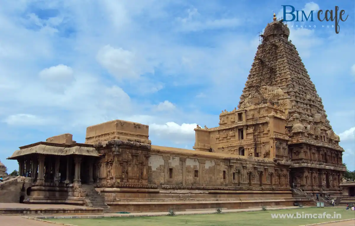
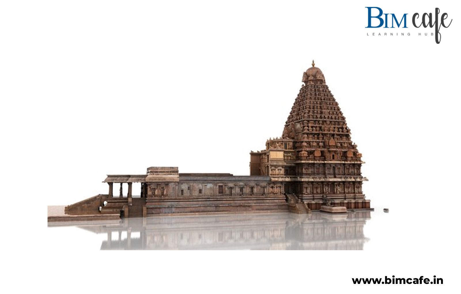
In the heart of Tamil Nadu, beside the fertile banks of the Kaveri, a king dreamed of building a structure so grand it would defy time. That dream took form in 1010 CE as the Brihadeeswarar Temple, a UNESCO World Heritage Site known as the Big Temple of Thanjavur.
Commissioned by the great Raja Raja Chola I, the temple is a marvel of Chola engineering, adorned with intricate sculptures, towering gopurams, and a 216 ft vimāna crowned by an 80-ton granite capstone. Constructed without the aid of modern machinery, the temple remains one of the tallest and most sophisticated stone temples ever built.
But how do you conserve such a giant stone, stone by stone, without altering its soul?
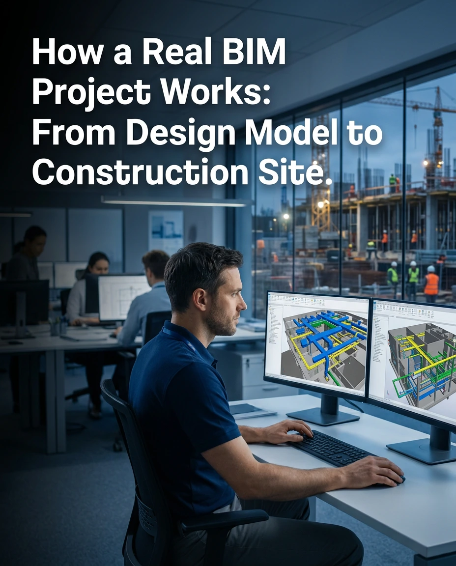
Enter: Building Information Modeling (BIM).
What is BIM and Why Does it Matter?
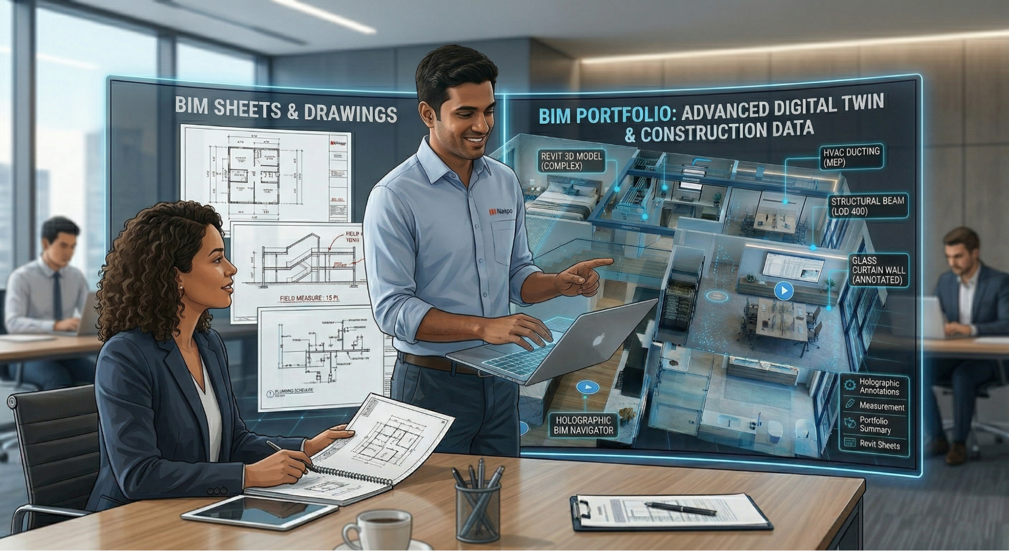
Building Information Modeling (BIM) is a digital representation of a structure’s physical and functional characteristics. It allows architects, engineers, and conservators to model, analyze, and manage buildings in a virtual 3D space enriched with real-world data.
In the context of heritage architecture like Brihadeeswarar, BIM helps:
- Preserve history with digital scan-to-BIM models
- Plan conservation works with millimeter accuracy
- Educate and engage using AR/VR walkthroughs
- Simulate structural stress and environmental impact
It’s like building the temple all over again, but in code and data.
The Digital Resurrection: How BIM Brings Thanjavur Temple to Life
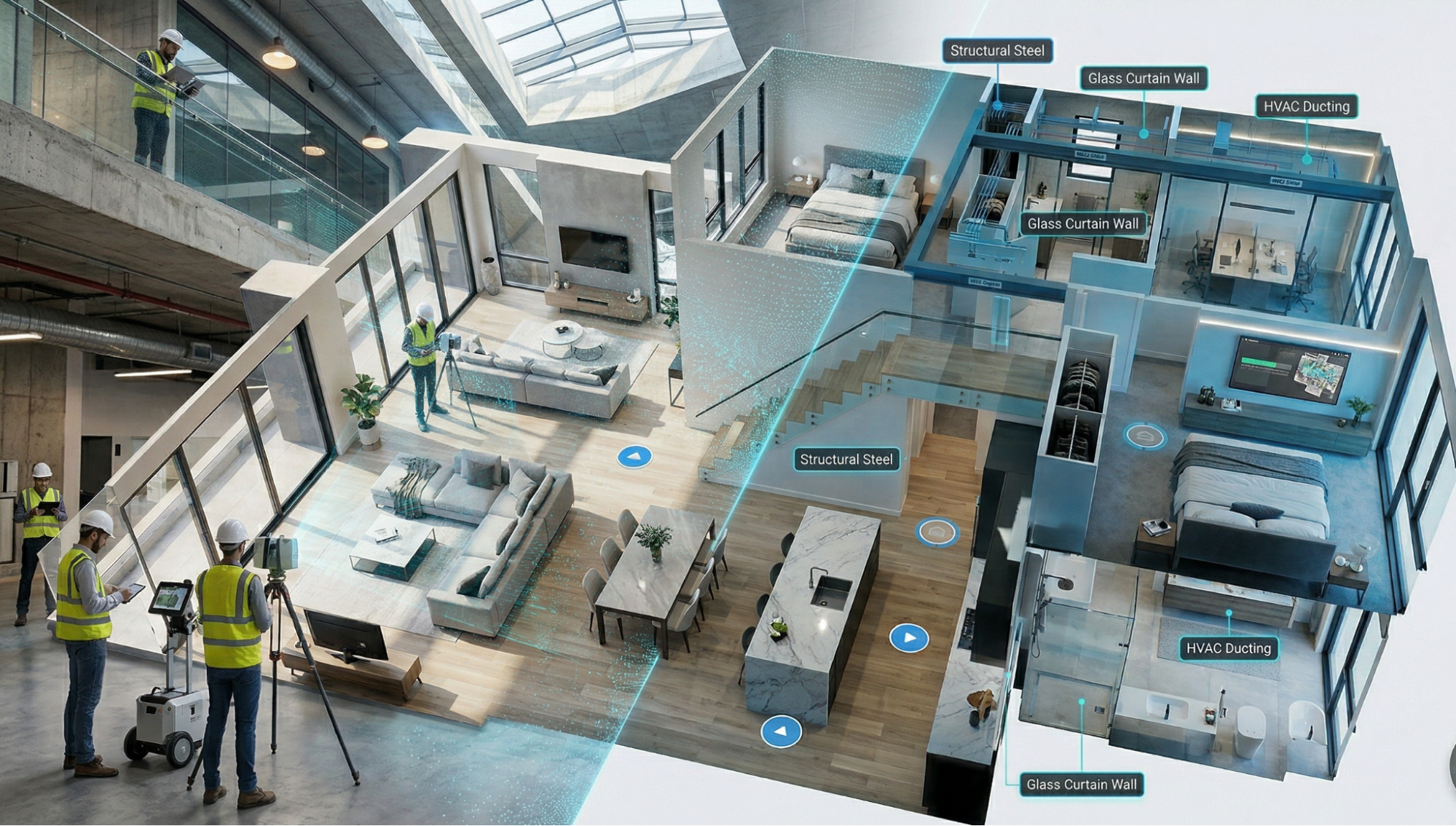
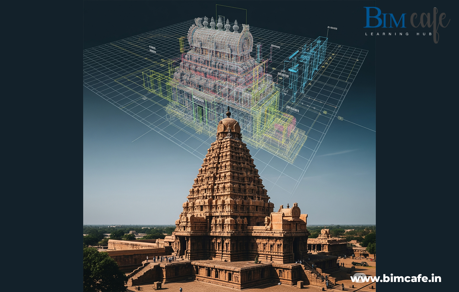
1. Scan to BIM: Capturing Every Carving
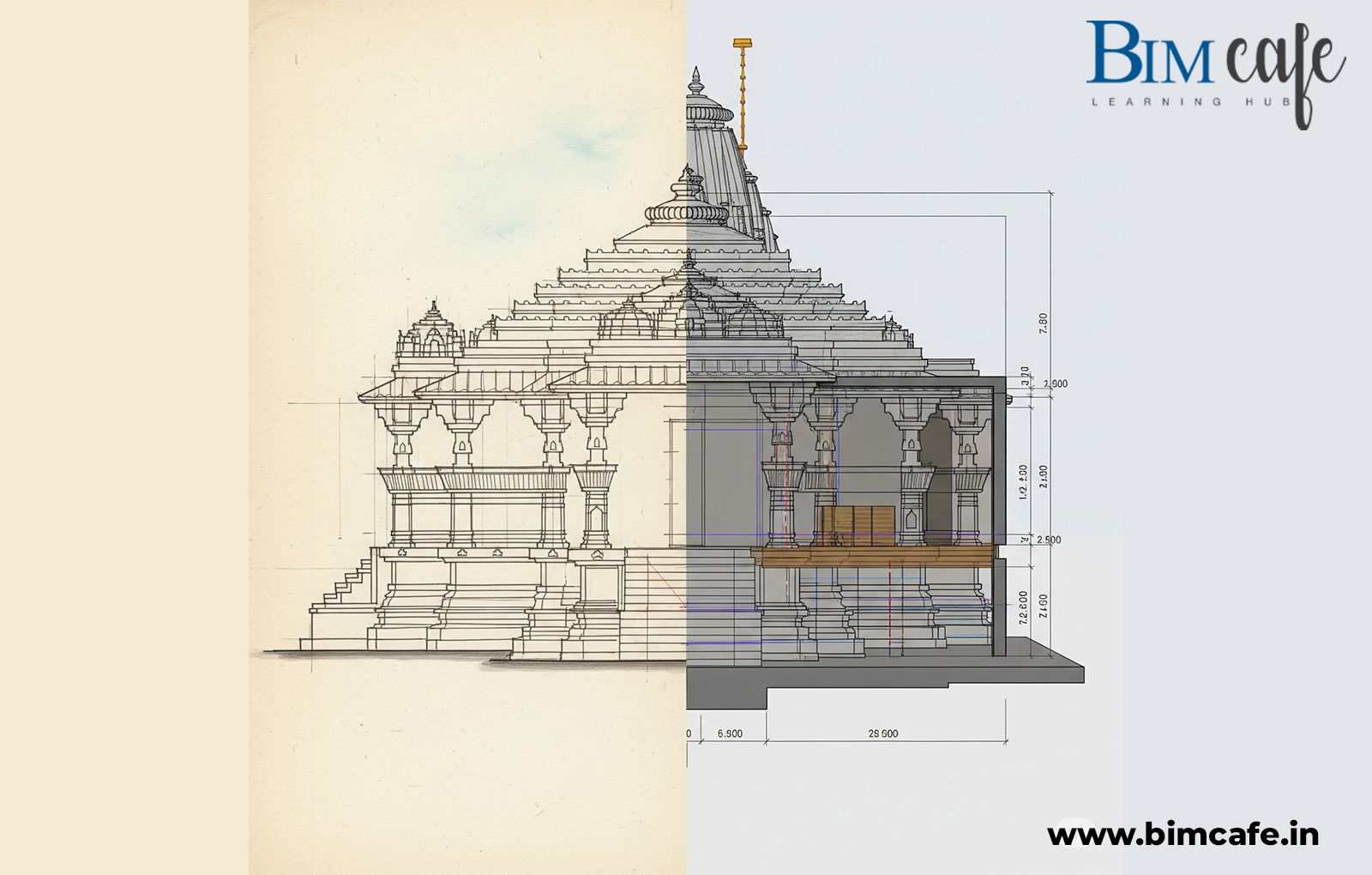
Using LiDAR, drones, and photogrammetry, heritage experts digitally scanned the entire temple complex. These scans were converted into 3D BIM models, accurate down to the smallest sculpture and crack in the stone.
2. Structural Intelligence in Ancient Design
BIM tools simulate how the temple responds to earthquakes, weathering, and load stress. For instance, engineers can analyze how the 80-ton shikhara remains stable without mortar.
3. Inscription Tagging and Metadata
The Chola kings inscribed temple walls with thousands of Tamil verses about donations, rituals, and festivals. BIM integrates these into clickable metadata layers.
Hover on a sculpture in the BIM model, and you’ll see:
Year: 1010 CE
Donor: Merchant Guild
Purpose: Festival Offering
4. Virtual Sun Paths and No-Shadow Myth
One legend says the temple casts no shadow at noon. BIM lets you simulate sun-paths over the model, debunking (or proving) the myth with precision.
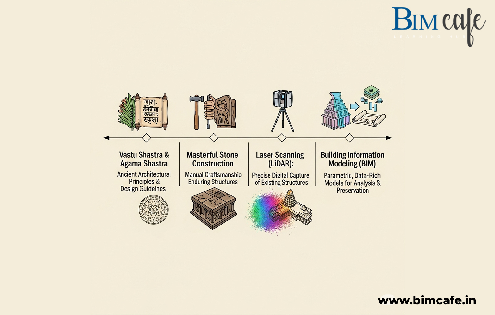
NEW: Real-World Evidence – Has BIM Been Used on Thanjavur Temple?
Yes, it has! While full-scale operational BIM is still evolving in India’s heritage sector, several respected institutions have already applied BIM-like digital technologies on the Brihadeeswarar Temple:
Digital Documentation by ASI & INTACH
- The Archaeological Survey of India (ASI) has digitally documented the temple using laser scanning and photogrammetry.
- These efforts laid the foundation for scan-to-BIM models that support conservation planning.
Scan to HBIM Workflow by Researchers
- Academic projects (e.g., ProQuest: Scan-to-BIM for Indian Temples) demonstrate workflows where LiDAR scans are processed into BIM-ready models using tools like Autodesk ReCap Pro and Revit.
International Heritage Workshops
- BIM pilot projects were featured in UKRI-AHRC/ICHR workshops for South Indian heritage, including Thanjavur, showcasing point cloud-based modeling and virtual access for education and conservation.
Virtual Tourism and Education
Today, thanks to lightweight BIM and VR tools, digital pilgrims can walk the temple’s prakaram, examine frescoes, or study architecture from anywhere in the world.
How BIM Supports Heritage Restoration
| Challenge | BIM Solution |
| Erosion of carvings | Laser scans and digital archiving |
| Unclear historical layering | Metadata mapping and chronological modeling |
| Risky physical inspections | Virtual walkthroughs and drone scanning |
| Modern construction nearby | Clash detection and context simulation |
Real-Life Application: How Conservation Experts Apply BIM on Heritage Sites
Experts working on historic sites, such as the Brihadeeswarar Temple, are harnessing the power of BIM not just for documentation, but also for active conservation, education, and global access. Here’s how:
Data-Driven Decisions in Real Time
On-site conservation teams use BIM to assess structural conditions with precision.
- BIM models are enriched with live environmental data, including moisture levels and temperature changes.
- After the monsoon, this data helps identify areas prone to fungal growth or water damage.
Targeted Restoration, Not Guesswork
- Restoration teams avoid unnecessary interventions by applying breathable stone sealants only where needed.
- This ensures the authenticity of the temple’s ancient structure is preserved without over-restoration.
Remote Learning with Rich 3D Detail
- Architecture students and researchers can remotely explore intricate carvings, structural designs, and ancient building logic.
- High-resolution 3D models eliminate the need for constant on-site visits.
A Living Digital Archive for the World
- BIM models serve as a permanent knowledge base for historians, conservationists, and educators.
- They allow for non-invasive study and global dissemination of the temple’s architectural and cultural legacy.
Learn How to Work on Projects Like This
At BIM Cafe Learning Hub, we provide industry-focused BIM training that covers:
- Scan to BIM using Revit and Recap Pro
- Point Cloud Data Modeling
- Heritage Restoration Methods
- AR/VR Integration in BIM Models
- Cultural Heritage BIM Projects and ISO-Compliant Workflows
Explore our specialised BIM courses tailored for architects and civil engineers.
Final Thoughts: When History Meets Technology
The Brihadeeswarar Temple isn’t just stone and silence. It’s math. It’s music. Its movement is frozen in granite. Through BIM, we don’t just protect it, we listen, decode, and extend its story into the digital future.
As the sun rises over Thanjavur each morning, somewhere in the world, a new student is exploring that same temple, virtually, thanks to BIM.
Frequently Asked Questions