Author: Devika R
March 3, 2025
4 min read
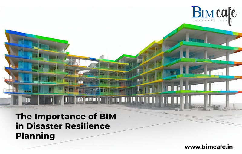
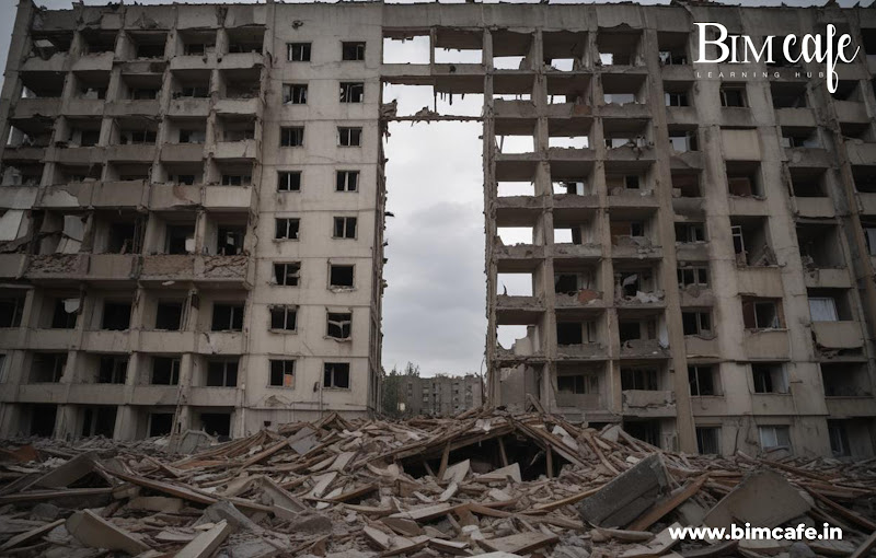
With natural disasters becoming more frequent, disaster-resilient infrastructure is now essential. Building Information Modelling (BIM) transforms disaster resilience planning from reactive to proactive, minimizing damage and safeguarding lives. This article explores BIM’s role in strengthening disaster resilience, especially in India’s urban growth. Could BIM be the key to creating disaster-proof cities?
How BIM Enhances Disaster Risk Assessment and Mitigation
BIM is a game-changer in disaster risk assessment, allowing engineers to identify vulnerabilities in infrastructure and simulate disaster scenarios for better preparedness. Policymakers use BIM data for disaster risk reduction, ensuring efficient resource allocation and accurate hazard mapping.
Real-time BIM updates improve disaster risk assessment, keeping stakeholders informed with the latest data for effective disaster management.
BIM Applications in Disaster Recovery
Enhancing Coordination in Disaster Recovery
- BIM provides a centralized platform for engineers, planners, and government officials to collaborate.
- Facilitates seamless communication for disaster recovery efforts.
Risk Assessment and Prioritization
- BIM helps identify critical risk areas in damaged infrastructure.
- Enables teams to prioritize high-risk zones for immediate action.
Faster Structural Damage Assessment
- Engineers use BIM to assess post-disaster structural integrity.
- Reduces downtime by generating accurate damage reports.
Optimized Resource Allocation
- BIM supports data-driven decision-making in emergency response.
- Helps distribute labor, materials, and finances efficiently.
Budgeting and Reconstruction Planning
- BIM models help estimate reconstruction costs.
- Ensures projects remain on time and within budget.
Regulatory Compliance for Government Oversight
- Assists government agencies in maintaining compliance with safety regulations.
- Simplifies documentation and approval processes for rebuilding.
Long-Term Resilience and Infrastructure Upgrades
- Incorporates disaster-resilient design strategies into reconstruction.
- Strengthens infrastructure to withstand future disaster events.
Integrating BIM with Smart Technologies for Disaster Preparedness
BIM is revolutionizing disaster preparedness by integrating with IoT for real-time monitoring of infrastructure, enhancing readiness. GIS integration improves emergency response planning and resource allocation.
AI-powered BIM analyzes large datasets to predict disaster impacts, enabling better planning. Government officials use BIM-driven systems for seamless communication during emergencies. BIM also supports infrastructure systems that adapt to changing conditions, ensuring long-term resilience and sustainability.
BIM’s Role in Climate Change Adaptation and Resilient Infrastructure
As climate change worsens, resilient infrastructure is crucial. BIM helps design infrastructure that withstands extreme weather by optimizing material selection for durability.
Urban planners use BIM for climate adaptation in city planning, ensuring readiness for climate change impacts. It also enables infrastructure monitoring under changing climate conditions, ensuring long-term resilience. Policymakers rely on BIM to prioritize resilient infrastructure investments, directing resources toward projects that strengthen climate resilience.
BIM Tools for Disaster Risk Reduction
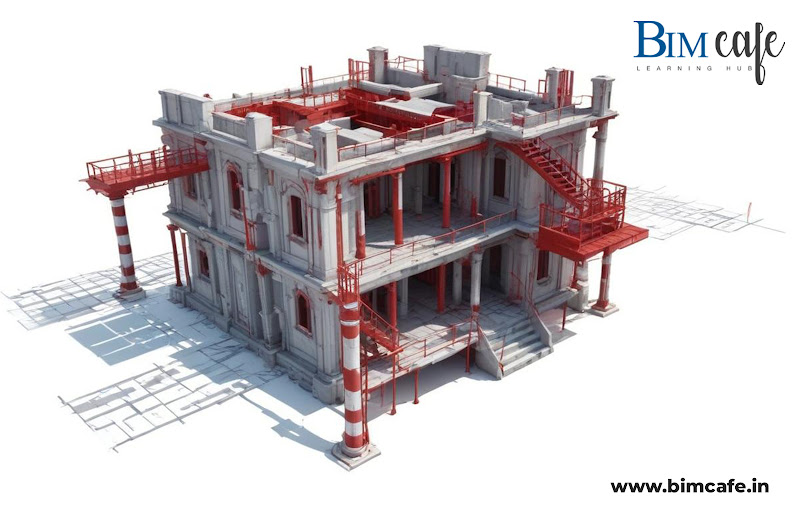
- Structural Performance Analysis : Models and analyzes how infrastructure withstands various disaster conditions.
- Risk Assessment Databases : Stores extensive data for risk assessment and disaster risk reduction planning.
- Simulation and Visualization Tools : Helps in disaster risk reduction efforts by predicting hazard impacts.
- GIS and BIM Integration : Enhances infrastructure planning with real-time mapping of risk zones.
- Automated Compliance Checking : Ensures projects meet safety and regulatory standards.
- Collaboration and Coordination Platforms : Supports teamwork in disaster risk reduction initiatives.
- Digital Twin Technology : Provides a real-time virtual representation of infrastructure for monitoring risks.
- IoT and AI-Powered Analytics : Improves disaster preparedness with real-time data processing.
- Predictive Maintenance Systems : Identifies vulnerabilities in infrastructure before failure occurs.
- Government Oversight and Tracking Tools : Helps government officials monitor progress in disaster risk reduction projects
Regulatory and Policy Frameworks Supporting BIM in Disaster Management
The adoption of BIM in disaster management is strengthened by regulations and policies. Government agencies promote BIM in infrastructure projects to enhance disaster resilience.
Regulations often require BIM in public infrastructure for safety compliance. Policymakers use BIM data to create effective disaster management policies. Standardized BIM protocols ensure consistency in disaster management practices. Urban planners align projects with disaster resilience goals for coordinated efforts.

BIM Strategies for Post-Disaster Reconstruction
- Rapid Damage Assessment : BIM enables quick evaluation of affected infrastructure, helping teams prioritize reconstruction efforts efficiently.
- Data-Driven Resource Allocation : BIM models support government agencies in distributing labor, materials, and funds based on real-time needs.
- Collaborative Reconstruction Planning : BIM fosters seamless coordination among engineers, planners, and disaster management officials, ensuring a unified approach.
- Prefabrication and Modular Construction : Using BIM for pre-designed components accelerates rebuilding while maintaining structural integrity.
- Long-Term Resilience and Maintenance : BIM ensures disaster resilience by incorporating sustainable designs and facilitating future risk assessments for ongoing safety.
Case Studies: Real-World Applications of BIM in Disaster Resilience
Chennai Floods – Improving Flood Management
BIM played a key role in flood management, enhancing urban planning through detailed simulations. By visualizing flood-prone areas, it helped in better preparedness and response strategies, minimizing risks, and improving infrastructure resilience.
Bhuj Earthquake – Accelerating Reconstruction
After the devastating Earthquake, BIM streamlined recovery efforts by providing detailed structural models. This ensured faster, cost-effective rebuilding, reducing delays and optimizing resource allocation for an efficient reconstruction process.
Uttarakhand Floods – Enhancing Disaster Coordination
BIM improved disaster response by enabling seamless communication among stakeholders. With centralized data-sharing, emergency teams coordinated efforts effectively, leading to quicker decision-making and improved recovery operations.
Mumbai Coastal Road Project – Strengthening Resilient Infrastructure
BIM contributed to resilient infrastructure by analyzing climate impacts and optimizing design strategies. By using simulations, planners ensured the project could withstand extreme weather conditions, safeguarding long-term sustainability.
Kerala Floods – Advancing Adaptive Infrastructure Planning
Lessons from the Kerala Floods showcased BIM’s role in infrastructure planning. By integrating real-time data and predictive modeling, BIM enabled adaptive measures, ensuring long-term resilience against future disasters.
Challenges and Limitations of BIM in Disaster Management
- Integration with Legacy Systems : Engineers face challenges in integrating BIM with existing systems, reducing its efficiency in disaster management.
- High Implementation Costs : The initial investment in BIM can be a barrier, especially for smaller municipalities and projects.
- Lack of Standardised Protocols : Policymakers struggle with standardizing BIM frameworks, affecting consistency in disaster management efforts.
- Data Interoperability Issues : Urban planners must address data compatibility challenges to maximize BIM’s effectiveness in disaster resilience.
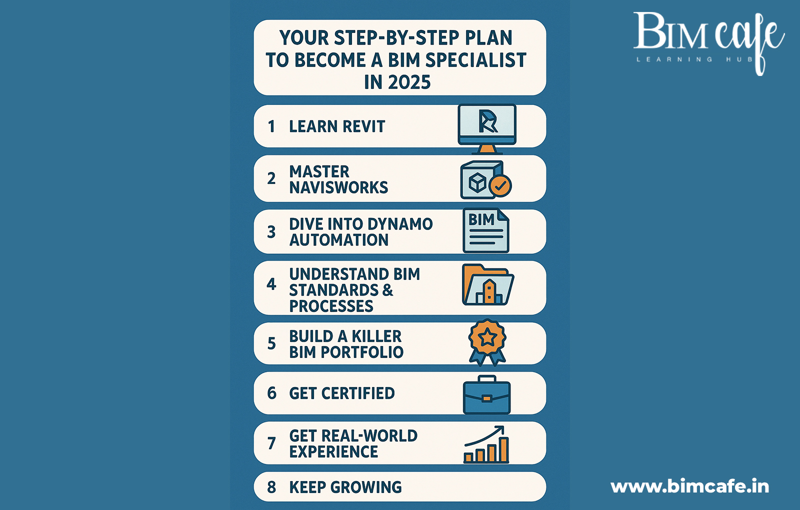
- Skills Gap and Workforce Training : A shortage of trained BIM professionals limits adoption, requiring more education programs for successful implementation. Bridging the skills gap through specialized BIM training programs is key to faster adoption and effective disaster management
Future Trends: How BIM is Shaping the Next Generation of Disaster Resilience
The future of BIM in disaster resilience is promising, with technologies like augmented reality enhancing disaster scenario training for emergency responders. Blockchain integration will improve data security, strengthening disaster management efforts. AI-driven BIM will revolutionize disaster risk assessment, enabling better predictions and planning.
Cloud-based BIM platforms will enhance real-time collaboration in disaster resilience projects, ensuring stakeholders access updated information. Policymakers foresee greater international use of BIM for disaster risk reduction, promoting global cooperation and knowledge-sharing to improve resilience efforts worldwide.
Future-Ready Disaster Management with BIM Innovation
The importance of BIM in disaster management highlights the need for continuous innovation. Engineers, planners, and policymakers must collaborate to build resilient infrastructure. Government support and policies will accelerate BIM adoption in disaster resilience planning. The future of disaster management relies on BIM for adaptive infrastructure solutions. Sustainable development will drive the evolution of BIM in disaster management practices.
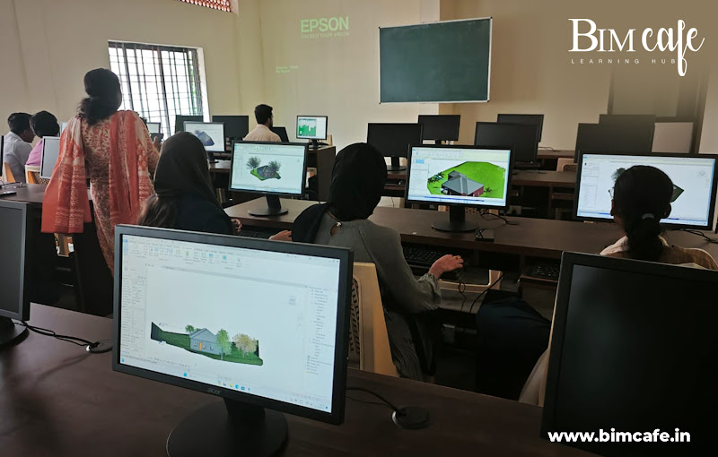
Learning BIM equips professionals with essential skills to design, manage, and optimize resilient infrastructure, making BIM professional training crucial for mastering digital construction, disaster management, and sustainable development.